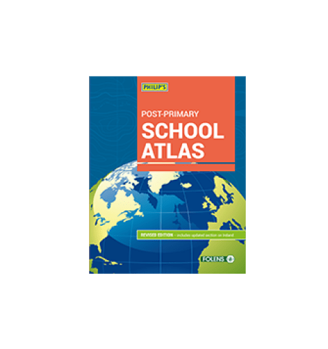
Philip's Post-Primary School Atlas is an essential reference work for students in secondary education.
- Specially prepared section on Ireland, covering topics such as landforms, communications and population density.
- Country-by-country statistics, providing figures on populations, land use, trade health, education, energy and economic performance.
- Continental maps covering climate, natural vegetation, population, wealth and economic themes.
- Map projections: a practical explanation of how the world is mapped, introducing some of the projections used in the atlas.
